Yongbyon Declassified: At Ground Zero
The exact origins of North Korea’s nuclear program are still shrouded in mystery despite being the object of study for over twenty-five years. Contrary to common perception, North Korea started developing one of its key nuclear facilities, the Yongbyon Nuclear Research Center, in the early 1960’s not the late 1980’s. This research center would later become the site of North Korea’s first modified 4-megawatt thermal (MWt) IRT-2000 reactor, from which the North Koreans later admitted to separating a small amount of plutonium in 1975. 1 It also later became the location for North Korea’s 5 megawatt (5MWe) and 50 megawatt (50MWe) reactors. The 5MWe reactor and plutonium production at Yongbyon were a central part of negotiations in both the 1994 Geneva Agreed Framework and the Six-Party Talks.
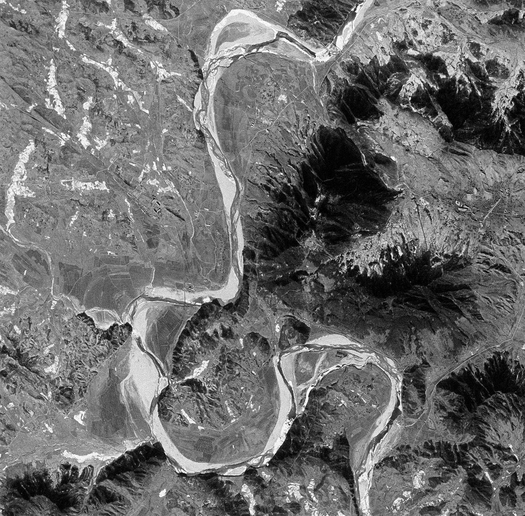
This series of articles titled “Yongbyon Declassified” attempts to shed light on the early development of North Korea’s nuclear weapons program by examining declassified satellite imagery from the Central Intelligence Agency’s CORONA, GAMBIT and HEXAGON reconnaissance programs. The imagery analyzed was taken using KEYHOLE (KH) KH-4A (2.7-meter resolution), KH-4B (1.8-meter resolution), KH-7 (1.8-meter resolution), and KH-9 (0.6- to 1.2-meter resolution) satellites. Two additional KH-4 images recently became available that are specifically analyzed in this report to allow for a further refinement of the date when construction began on the Yongbyon Nuclear Research Center. These images predate those that were provided in our initial report: Yongbyon Declassified Part I: Early Work on First Nuclear Research Reactor.
Key Takeaways
-
- Early satellite imagery from the Central Intelligence Agency, taken on December 15, 1962 and June 27, 1963, shows that construction on the Yongbyon Nuclear Research Center in North Korea started sometime after June 27, 1963 and before July 16, 1964.
- Construction work likely began at this time to prepare for North Korea’s first reactor, a modified 4-megawatt thermal (MWt) IRT-2000 research reactor, obtained from the Soviet Union around mid-1964.
- These findings run contrary to the popular view in media and in scholarship that North Korea’s interest in acquiring nuclear capabilities in earnest started in the 1980s and early 1990s.2 The effort is, in actuality, over 50 years old.
KH-4 Mission 9050 (December 15, 1962)
The first of the two declassified satellite images was taken on December 15, 1962. This approximately 2.7-meter resolution image, taken during KH-4 Mission 9050, shows the Yongbyon area on a clear winter day. The area is engaged in typical rural agricultural activity and construction has not yet begun on the Yongbyon Nuclear Research Center. With the exception of Sang-dong (which has a small rail station and three large structures) and the city of Yongbyon, the sites for all future facilities are either under cultivation or occupied by small agricultural villages. Of note in the image are two large, apparently agricultural related, structures in the Pun’gang-ni area.
![]()
Image: An overview of the Yongbyon area showing the location where the future IRT-2000 research reactor will be built (CIA, declassified KH-4 image, December 15, 1962).
![]()
Image: An overview of what will become the northern section of the Yongbyon Nuclear Research Center showing the site of the future operations area where the future IRT-2000 research reactor will be built. Also visible are three large structures in Sang-dong and two large, apparently agricultural-related, structures in the Pun’gang-ni area. (CIA, declassified KH-4 image, December 15, 1962).
![]()
Image: A close-up view of the site of the future operations area where the IRT-2000 research reactor will be built and the northern section of the support area. Just visible is one of the two agricultural-related structures in the Pun’gang-ni area. (CIA, declassified KH-4 image, December 15, 1962).
![]()
Image: A close-up view of the village of Sang-dong prior to expansion. Prominently visible are three large structures and the railroad station. The dashed outline shows the area Sang-dong will occupy in the July 16, 1964 image. (CIA, declassified KH-4 image, December 15, 1962).
![]()
Image: A close-up view of the Pun’gang-ni area that will eventually be developed into a larger support area and the location for the 5MWe and Experimental Light Water reactors. The rail bridge over the Kuryong-gang is visible at the bottom of the image. (CIA, declassified KH-4 image, December 15, 1962).
![]()
Image: An overview of what will become the southern section of the Yongbyon Nuclear Research Center showing the future locations of major facilities around the village of Yongch’u-ri. (CIA, declassified KH-4 image, December 15, 1962).
![]()
Image: A close-up view showing the future location for the 50MWe reactor north of Yongch’u-ri. (CIA, declassified KH-4 image, December 15, 1962).
![]()
Image: A close-up view showing the future location for the Radio Chemistry Laboratory and “Building 500” (used for waste storage) northwest of Yongch’u-ri. (CIA, declassified KH-4 image, December 15, 1962).
![]()
Image: A close-up view of the area southwest of the village of Yongch’u-ri showing the future location for the fuel fabrication, gas centrifuge and isotope production facilities. (CIA, declassified KH-4 image, December 15, 1962).
KH-4 Mission 9056 (June 27, 1963)
The second declassified satellite image was taken approximately six months later on June 17, 1963 during KH-4 Mission 9056. This image is also of approximately a 2.7-meter resolution image although it was taken from a different angle than the December image. The entire Yongbyon area is covered in a thin layer of clouds that obscures most details. Using, however, the Kuryong-gang, railroad tracks and two large structures in the Pun’gang-ni area it is possible to locate Sang-dong and the operations area where the future IRT-2000 reactor will be built. While partially obscured by a layer of clouds close examination of these areas shows no indications that excavation and construction activities for the Yongbyon Nuclear Research Center have yet begun. Thus, analysis of this imagery demonstrates that the start of construction was sometime after June 27, 1963 and before July 16, 1964.
![]()
Image: A cloudy overview of the Yongbyon area with the location where the future IRT-2000 research reactor highlighted. (CIA, declassified KH-4 image, June 27, 1963).
![]()
Image: An overview of what will become the northern section of the Yongbyon Nuclear Research Center. Just visible are the railroad tracks and the two agricultural buildings in the Pun’gang-ni area. While partially obscured by a layer of clouds no excavation activity is visible in the future operations area where the IRT-2000 research reactor will be built. (CIA, declassified KH-4 image, June 27, 1963).
References
- David Albright and Kevin O’Neill, eds., Solving the North Korean Nuclear Puzzle (Washington, D.C.: Institute for Science and International Security, 2000), p. 122. See also, David Albright, “North Korean Plutonium Production,” Science and Global Security (1994), Volume 5, pp. 63-87, http://scienceandglobalsecurity.org/archive/sgs05albright.pdf ↩
- For example, Don Oberdorfer’s seminal work, The Two Koreas (2014, 3rd Ed.), and Korea scholar Bruce Cumings, Korea’s Place in the Sun (1997), date the start of the program to 1979. See Oberforder, p. 197; and Cumings, p.466. Andrei Lankov’s book, The Real North Korea (2013), mentions the origins as the 1960s, but provides no more specificity. See Lankov, p. 147. NTI correctly dates the start of construction in the early 1960s, but provides no source documentation. See “Yongbyon Nuclear Research Center,” http://www.nti.org/learn/facilities/777 ↩